Log in
All resources
Create a design
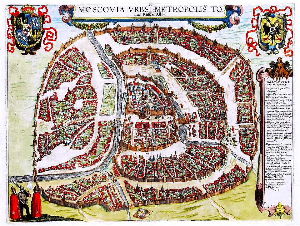
28 Free Artworks of Maps Made In The 16th Century
provided by landsbókasafn íslands
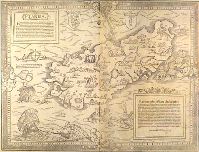
16th-century maps of iceland
landen und völckeren chronick wirdiger thaaten beschreybung
gemeiner loblicher eydgnoschafft stetten
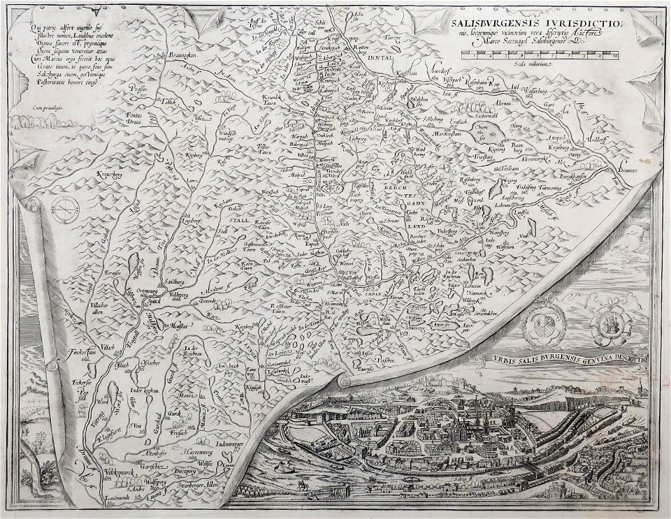
drawings in the universitätsbibliothek salzburg
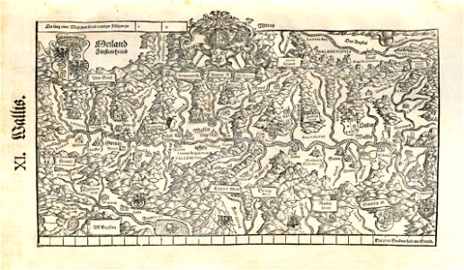
old maps of switzerland
1548 in switzerland
prints of italy in the universitätsbibliothek salzburg
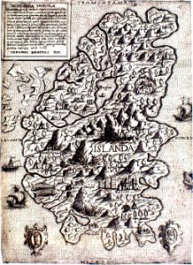
old maps of iceland
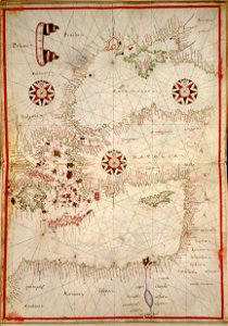
16th-century maps of the black sea
provided by landsbókasafn íslands
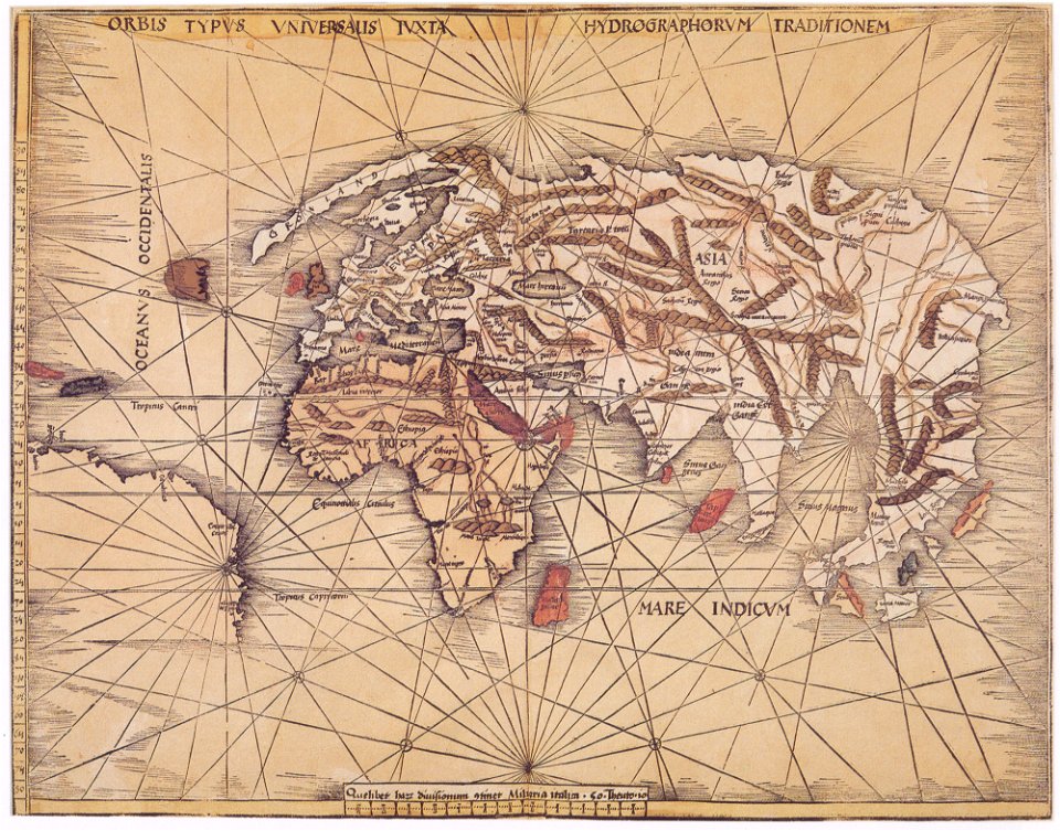
maps made in the 16th century
provided by landsbókasafn íslands
maps made in the 16th century
maps made in the 16th century
1551
maps made in the 16th century
philips galle
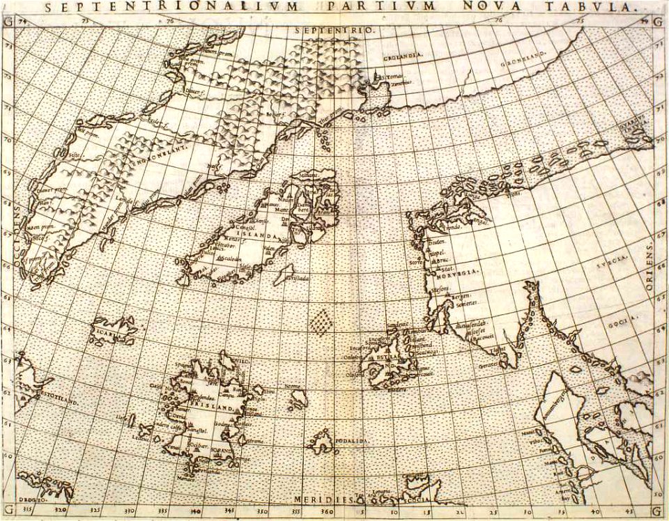
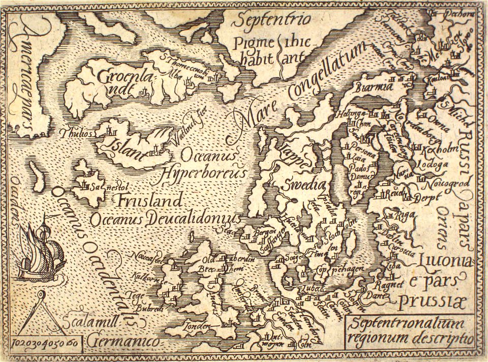
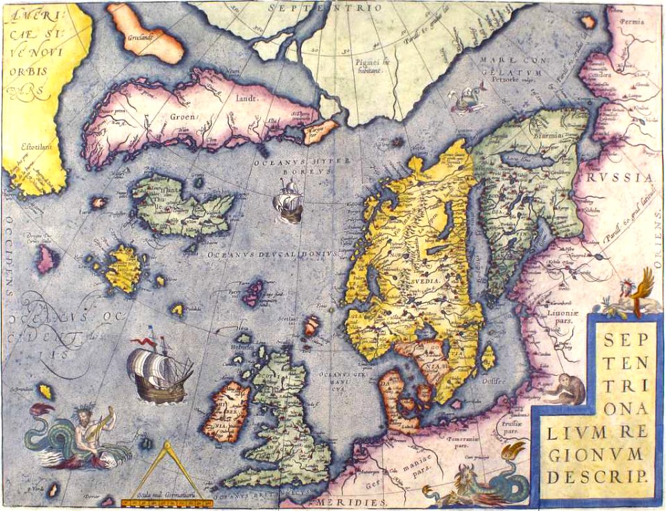
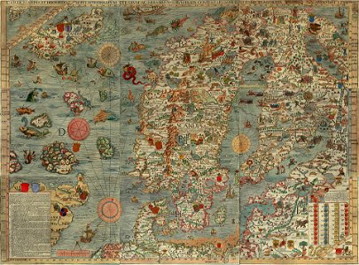
old maps of scandinavia
old maps of iceland
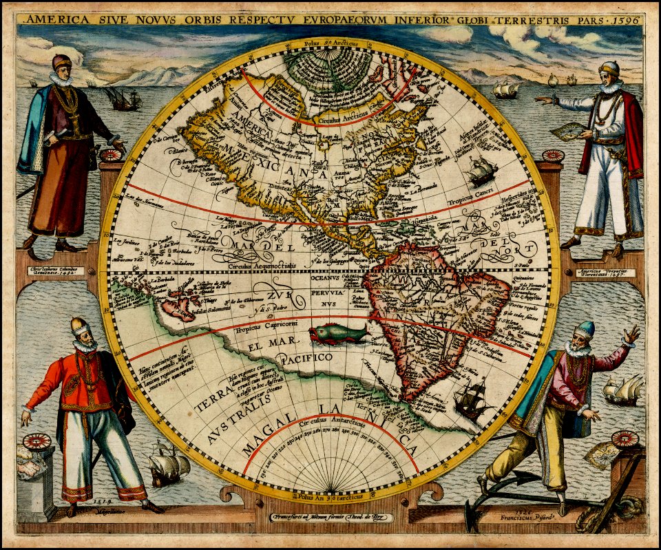
maps made in the 16th century
maps by martin waldseemüller
16th-century maps of the black sea
maps made in the 16th century
maps made in the 16th century
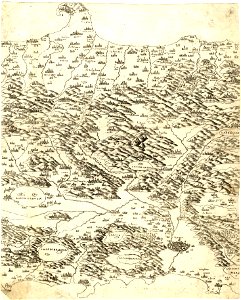
old maps of salzburg (state)
pointing in art
theodor de bry
old maps of iceland
kraken
16th-century maps of the black sea
maps in the library of congress
maps made in the 16th century
old maps of bavaria
maps made in the 16th century
ignazio danti
maps made in the 16th century
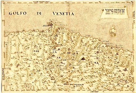
maps of the march of ancona
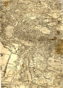
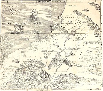
old maps of the arabian peninsula
maps of midian
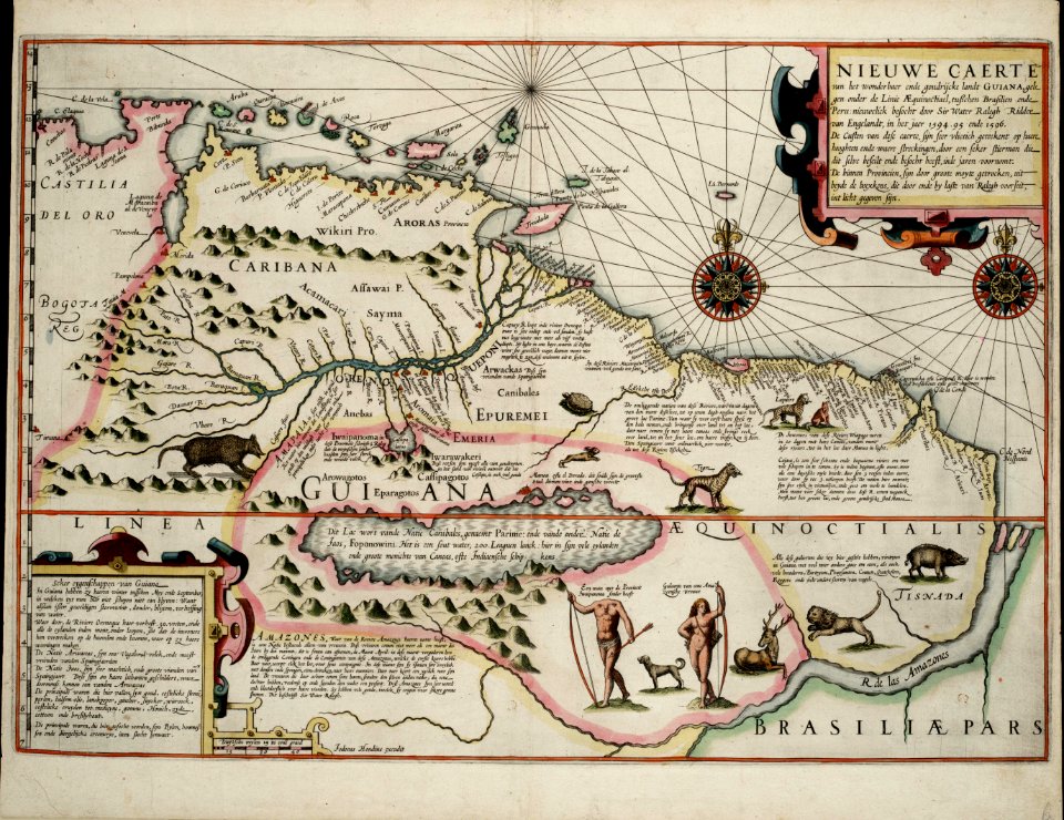
old maps of guyana
el dorado
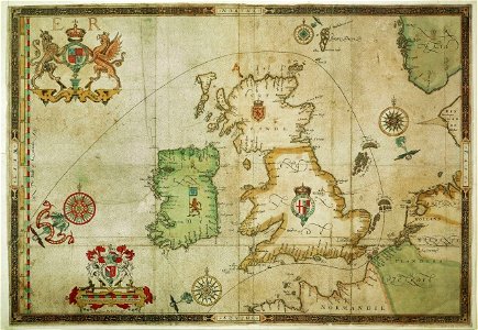
the track of the armada around britain and ireland
london
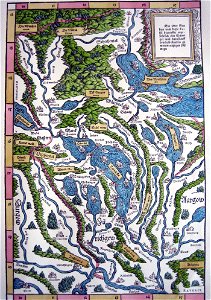
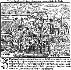
old maps of the canton of zürich
old maps of switzerland
maps made in the 16th century
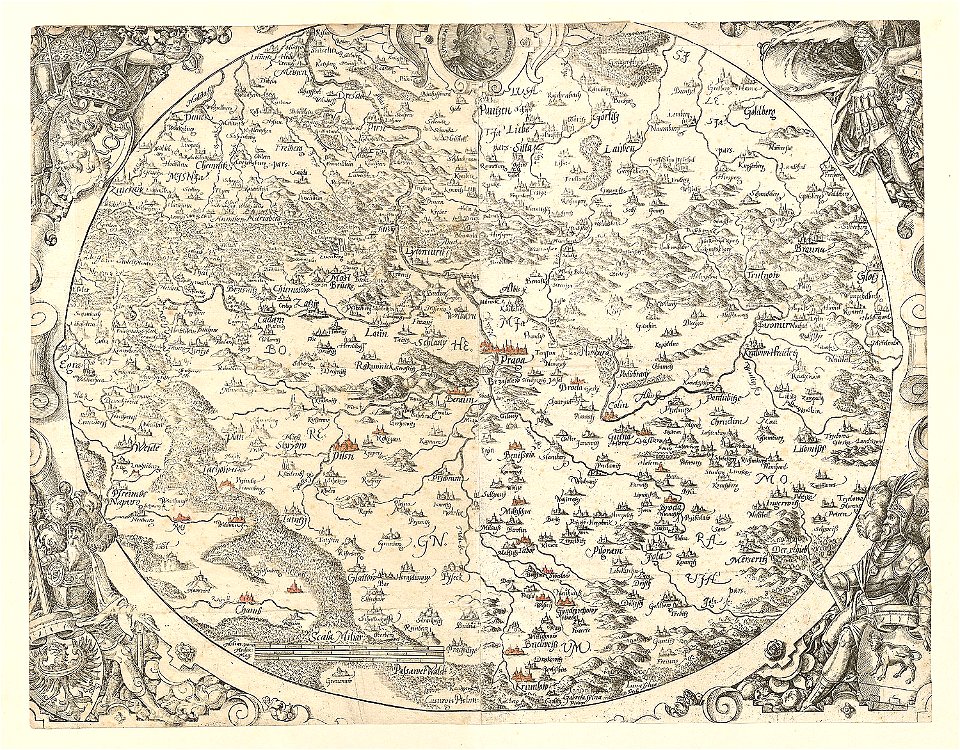
old maps of bohemia
levante
sodom
old maps of the canton of zürich
maps made in the 16th century
maps made in the 16th century
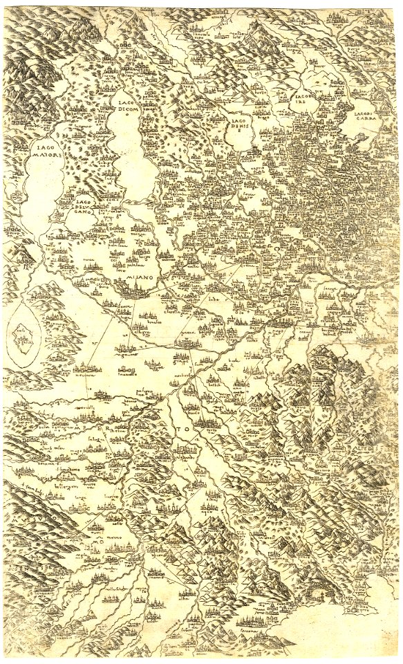
old maps of lombardy
historical images of solothurn
solothurn
maps made in the 16th century
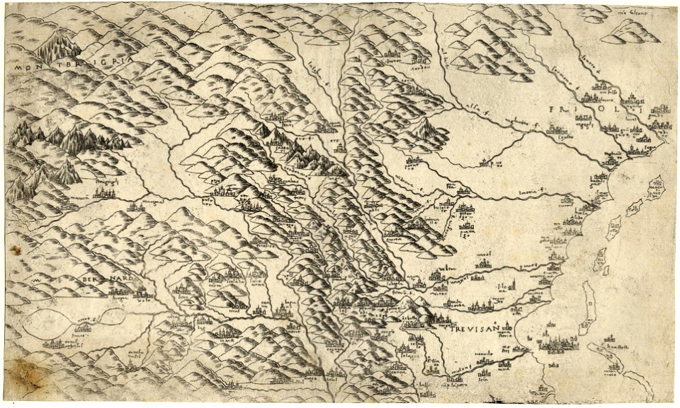
old maps of veneto
maps made in the 16th century
zürich in art
maps made in the 16th century
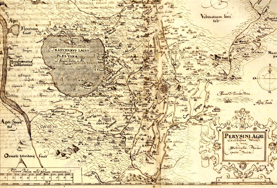
old maps of lazio
maps made in the 16th century
old maps of switzerland
crowned eagles argent
pictorial maps
1 - 28 of 28
/ 1